Global to local
Zoom from clustered farm counts across a continent to the outline of one pond. Drill down by country, province and district without typing a place name.

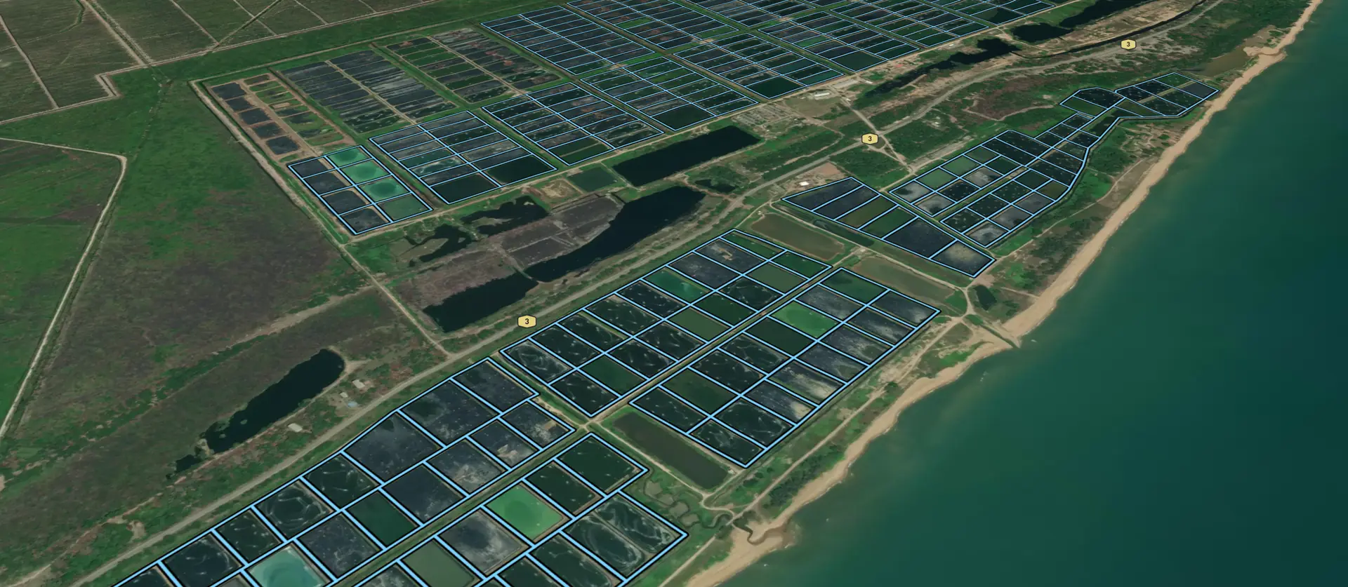
AquaScape is the world's largest geospatial database of aquaculture operations: nearly three million ponds, cages and trestles, each one a polygon you can filter, measure and annotate, from a whole continent down to a single farm.
What it does
Freshwater, coastal and offshore sites, recorded individually rather than as statistics, with environmental, social and production attributes layered on top.
Zoom from clustered farm counts across a continent to the outline of one pond. Drill down by country, province and district without typing a place name.
Species, culture type, structure, area, location. Combine conditions and the map, the counts and the charts all follow as you build the filter.
Add attributes of your own, such as survey results, model outputs and harvest figures. They are private to your organization, imported with your data or edited on the map.
Charts and totals over whatever you are looking at: area by culture type, harvest by species, your share of the whole.
Paint the map by species, intensity or size, on a scale drawn from the bulk of the data so a few giants do not wash out everything else.
Drone surveys, carrying-capacity model boxes and a bathymetric base map, switched on beside the farms when you need them.
Who it is for
Each organization sees exactly the regions and data its agreement covers.
Licensing, spatial planning and environmental policy, backed by a continuously updated picture of farm density and proximity to protected areas.
A validated farm registry to check self-reported site lists against mapped polygons, environmental designations and existing certificates.
Production by region, species and scale at farm level, including new capacity before it appears in official statistics.
Screen markets, check regulatory and protected-area exposure, and monitor held assets without repeated data requests to operators.
Read more about AquaScape on the Longline website, or get in touch with the team there for a demonstration.